
A deck in Carp is decided by two lines on a map before it is decided by a drawing. The first is the village boundary set in 1979: inside it you are on City water and the municipal sewer, outside it you are on a well and a septic bed the footings have to miss. The second is the Carp River, which regulates land considerably further back than most people expect and which answers to a different conservation authority than the rest of south Ottawa. Both are settled before anyone measures a yard.
Is Carp really Ottawa?
Yes, and the paperwork trail is longer than most. Carp was a post village in Huntley Township, described in an 1866 gazetteer as a settlement of 200 people on the Carp River with three stores, workshops, three hotels and a town hall. Huntley was folded into West Carleton Township in 1974, the village got its own official boundary in 1979, and West Carleton went into the City of Ottawa at the 2001 amalgamation. Today it is Ward 5, West Carleton-March.
So there is no separate village permit process left to learn. The City of Ottawa rules that apply in Kanata apply on Donald B. Munro Drive, and Carp is on our regular service area alongside Stittsville and Kanata, straight down Carp Road. There is no out-of-area charge for a Carp address.
The village boundary decides whether there is a septic bed in your yard
This is the one that catches people out, and it runs the opposite way to what everyone assumes about a rural Ottawa village.
The City operates communal groundwater well systems for six communities: Carp, Munster Hamlet, Richmond (Kings Park), Richmond West, Greely (Shadow Ridge) and Vars. Of those six, Richmond, Munster Hamlet and Carp are the three connected to the municipal trunk sewer. So a house inside the Carp village boundary is usually on City-supplied water and City wastewater, with no private well and no leaching bed anywhere on the property.
Cross the boundary and it inverts. Properties outside the village are on private wells and septic, and that changes where a footing can go, where a patio base can be excavated, and where a machine can track. A leaching bed is not visible from a property line and it is not something to find out about with an auger. We locate it during the on-site visit, before there is a drawing to argue with.
Septic anywhere in Ottawa, rural or urban, is permitted and inspected through the Ottawa Septic System Office, which the Rideau Valley Conservation Authority runs on the City’s behalf for the whole city. Which produces a quirk worth knowing if you live here: in Carp, the authority that governs your septic system and the authority that governs your river are two different organisations. One of them is Rideau Valley and the other is not.
Near the Carp River, the City’s permit is not the only one
The Carp River watershed lies entirely inside the City of Ottawa and falls under Mississippi Valley Conservation Authority, not the Rideau Valley Conservation Authority that covers most of the city’s south end. If you have built elsewhere in Ottawa and think you know this process, check the name on the form.
Since 1 April 2024 the rules have been in Ontario Regulation 41/24 under the Conservation Authorities Act. Two things in it surprise homeowners.
A “development activity” is broader than building something. The regulation defines it as the construction, reconstruction, erection or placing of a building or structure of any kind, site grading, and the temporary or permanent placing, dumping or removal of any material. Excavating a patio base and bringing in granular is squarely inside that definition. So is regrading a yard.
The regulated area reaches well past the water. Where a river or stream valley is apparent and has stable slopes, the regulation puts the limit at the stable top of the bank plus 15 metres, and it separately prohibits development activities within 30 metres of a wetland. Standing in a yard and judging the distance to the river is not the test.
What Ontario Regulation 41/24 exempts, and what it does not
The exemption list is short and specific. It is the single most useful thing to know before you sketch anything on a property near the Carp River.
| What you want to build | Exempt from MVCA permission? | The condition, in the regulation’s own words |
|---|---|---|
| Unenclosed detached deck or patio, 15 m² or less | Yes | “is 15 square metres or less, is not placed within a watercourse or wetland and does not utilize any method of cantilevering” |
| Deck attached to the house, or any deck over 15 m² | No | The exception is written for a detached deck and capped at 15 square metres. A cantilevered deck is out at any size. |
| Fence with gaps between the panels | Yes, one kind only | “a rail, chain-link or panelled fence with a minimum of 75 millimetres of width between panels, that is not within a wetland or watercourse” |
| Solid board privacy fence | No | A fence with no gap does not meet the 75 millimetre condition, so the exception does not reach it. |
| Non-habitable accessory structure, 15 m² or less | Yes | Must be “incidental or subordinate to the principal building or structure” and not within a wetland or watercourse. |
| Interlock patio, walkway or driveway | No | Not on the list. Site grading and the placing of material are development activities in their own right. |
| Retaining wall, or regrading the yard | No | Same reason. The earth moving is itself the regulated act. |
Read the privacy-fence row twice, because it is the one that costs money. The exemption for a fence is written around gaps, so the fence most people in a river-valley yard actually want, a solid board fence for privacy, is the one the exception does not cover.
On a residential lot in Carp, the City’s Fence By-law applies on top of all this: one metre in a front yard and 213 cm in any other yard. Our page on Ottawa fences sets out the rest, gates and pool enclosures included.
Two honest limits on all of the above. First, an exemption from the Conservation Authority is not an exemption from the City: those are separate approvals answering separate questions, and a project can need one, both or neither. Second, whether any of this reaches your property is decided by where the land sits, not by the street it is on, so two neighbours can get different answers. MVCA recommends pre-consulting its staff, and we confirm your address against the MVCA development and permits process at the site visit rather than after the footings are in. Finding this out late is considerably more expensive than finding it out at the drawing stage.
Do Carp decks need a City of Ottawa building permit?
Most deck pages in this city say “we handle the permits” and then decline to say what triggers one. Here are the City’s conditions, in its own words. Any one of them is enough.
- The structure has a building area of over 10 square metres (approximately 108 square feet).
- If the deck is adjacent to or attached to the house and its walking surface is more than 600 mm (24 in.) above the adjacent grade, a permit is required. Size does not exempt it. A small landing off a back door can cross this line.
- If the deck is an elevated deck providing principal access to a building a permit is required. No height or area exemption applies. This is the one that catches walkout decks.
- If the deck is independent from the house (eg. is in the middle of the yard) and has a walking surface greater than 10 square metres (approximately 108 square feet) in area and its walking surface is more than 600 mm (24 in.) above the adjacent grade, a permit is required. The freestanding case needs both tests to be true.
Source: City of Ottawa, Decks: do I need a building permit? The City also publishes its own sundeck plan checklist and sample.
Notice that the City’s threshold is 10 square metres and the Conservation Authority’s is 15. They are not the same number and they are not measuring the same thing. Where a permit is needed we prepare the drawings and file the application as part of the build, using the same 3D and AutoCAD model you already approved. Where one is not, we say so plainly rather than billing for paperwork nobody needs.
The rock under Carp is not the rock under the rest of Ottawa
Most of this region sits on Paleozoic limestone. Carp does not, or at least the high ground does not. The Carp Ridge is a block of roughly one-billion-year-old Precambrian granitic gneiss and syenite that has been pushed up through the limestone along the Hazeldean Fault, which runs northwest to southeast along the edge of the hills near Carp Road. On the ridge that Precambrian rock is exposed at elevation.
Here is the part a competitor page would fill in and we will not. What is under the valley floor where the village itself sits is not something we are going to claim from a geology map. We have not seen a soils or geotechnical source for it, so we are not going to tell you your footings will find rock at some convenient depth. On a ridge lot it is a live possibility worth planning for. In the village it is a question, and it gets answered with a shovel on the site visit, which is why that visit happens before the quote and not after it.
In Carp, drainage is the interlock question
The Carp River flood plain is not settled history, it is an open engineering file. The City’s Carp River Restoration Plan covers roughly 5.2 km of river from Hazeldean Road to north of Richardson Side Road, narrowing the low-flow channel and adding bank vegetation, fish-habitat pools and wetlands, with the stated aim of reducing flooding from spring runoff and heavy rain. Carp Village was also one of the areas named in the City’s investigation of the west-end rainstorm flooding of 24 July 2009, alongside Glen Cairn, Katimavik, Beaverbrook and Stittsville.
So a hard surface here is a water decision before it is a paving decision. Where does the patio send a heavy rain, does the fall run toward the house or away from it, and will the base still drain after a spring the river has already filled. We build interlock patios, walkways, steps and retaining walls, and in this valley we would rather design the drainage first and the pattern second. It is also the reason the regulation matters to interlock at all: on a regulated lot the grading is the thing being regulated, not the stones.
A 19th-century main street, and why a detached deck is often the right answer
The village core along Donald B. Munro Drive and Carp Road holds genuinely 19th-century buildings. The Carp Agricultural Society and the Carp Fair date to 1863, and the fair’s octagonal Exhibit Hall, one of the few remaining octagonal frame fairground buildings in Ontario, has been the main building on the grounds since 1880.
For a builder that history has exactly one practical consequence, and it is not a romantic one. A ledger board is a bolted structural connection into whatever the wall is actually made of, and on a house that predates modern framing that is a question rather than an assumption. A freestanding deck sidesteps it by not asking, carries its own load on its own posts, and happens to line up with the regulation, whose deck exception is written for a detached structure. On an older Carp house we will usually look at freestanding first and tell you why.
If what you have is an existing deck rather than a bare yard, we also repair, stain and strip decks, so replacing it is not automatically the answer. The frame and the footings decide that, not the boards.
About the photos on this page
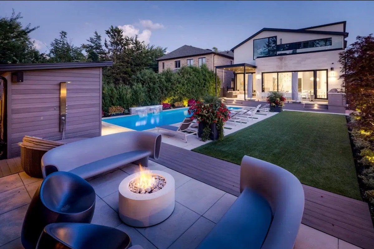
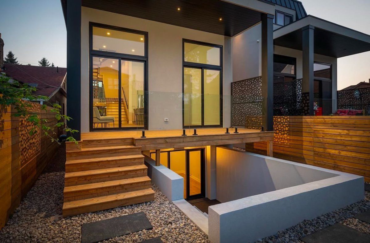
We want to be straight with you here. Our project gallery today is organized by the type of work (decks, fences, interlock and outdoor structures), not by neighbourhood, so we cannot point at a specific photo on this page and confirm it was built in Carp. Rather than attach a location to a project we cannot verify, we are simply not doing that.
What you can see is our full gallery of the work we build, organized by project type. Every Carp job runs through the same 3D and AutoCAD design process described above. As we start tagging projects by neighbourhood, we will add verified Carp photos to this page instead of a general link.