
The communities we name
This is the list the business stands behind, and the same one that appears in the structured data on every page of this site. Where a community has its own page, the name links to it.
- Ottawa. The city itself. Every name below except Gatineau is inside City of Ottawa limits, so one permit process covers all of them.
- Kanata. Four build eras on one map: Beaverbrook from 1964, Glen Cairn and Katimavik in the 1960s and 1970s, then Bridlewood and Kanata Lakes, then Arcadia and Trailwest.
- Barrhaven. Almost nothing here predates 1968. Old Barrhaven is the 1970s and 1980s core; Chapman Mills, Stonebridge and Half Moon Bay came later, on smaller lots.
- Orleans. Queenswood Heights from 1958, Convent Glen and Orleans Wood after the Grey Nuns sold 500 acres in 1970, Avalon from the late 1990s.
- Nepean. A township from 1792 and a city only from 1978 to 2000. Lynwood Village in Bells Corners was one of Ottawa's first tract subdivisions.
- Stittsville. The easiest place in Ottawa to date street by street: Fringewood before 1980, Bryanston Gate in the 1990s, Blackstone and Potter's Key in the 2010s.
- Gloucester. A former city of 298.5 square kilometres, not a neighbourhood. Beacon Hill, Blackburn Hamlet, Riverside South and Findlay Creek all sit inside the old boundary.
- Findlay Creek. The newest stock we work on. Nothing much predates the early 2000s, and Findlay Creek Village is a 22-phase build scheduled to finish in 2027.
- Vanier. Urban since it incorporated as a town in 1913, about 4 kilometres east of Parliament Hill. Small lots and narrow streets, so access and staging drive the plan.
- Manotick. Three layers around Watson's Mill, grinding since 1860: the village core, post-war homes on Long Island, and estate lots west of Mud Creek.
- Richmond. Settled in 1818, inside City of Ottawa limits since 2001. Land near the Jock River can need Rideau Valley Conservation Authority permission on top of a City permit.
- Greely. Estate lots of roughly half an acre to two acres, 32 kilometres south on the Bank Street corridor, in subdivisions including Shadow Ridge, Sunset Lakes and Water's Edge.
- Riverside South. Almost nothing here predates 1996, and it was City of Gloucester before 2001, not Nepean. 6,903 homes at the 2021 count, with the City projecting 24,920 people by 2034.
- Gatineau. A separate city in Quebec, formed on 2002-01-01 out of Aylmer, Buckingham, Gatineau, Hull and Masson-Angers.
- Carp. A village in the Carp River valley at the edge of the Carp Ridge, about 33 kilometres northwest of downtown. Its own boundary was set in 1979, and it was West Carleton Township until 2001.
- Blackburn Hamlet. 2.41 square kilometres, City of Gloucester until 2001, ringed on every side by NCC Greenbelt and former Defence Proving Grounds land. A suburban island with no adjoining subdivisions.
- Navan. A designated village 25 kilometres east, centred on Colonial and Trim. Cumberland Township, then City of Cumberland from 1999, then Ottawa from 2001, so there is no out-of-town surcharge.
- Cumberland. Say which one you mean: the village on the south bank of the Ottawa River 24 kilometres east, the former township that also held Navan, Sarsfield and Vars, or the ward.
- Rockcliffe Park. The entire village is a Heritage Conservation District under Part V of the Ontario Heritage Act, which makes City rules here materially different from anywhere else on this list. Independent until 2001.
- Centretown. The original residential city south of Parliament Hill, on full municipal water and sewer. Two Part V heritage districts sit inside it: Minto Park from 1988 and Centretown from 1997.
- The Glebe. Inside the city since the 1889 annexation that extended the limits to the Rideau Canal, not 2001. Two Part V heritage districts: Clemow Estate East from 2011, and Clemow-Monkland Driveway with Linden Terrace from 2020.
- Westboro. Annexed from Nepean Township around 1949 to 1950, when Nepean lost 7,420 acres including Westboro Beach. Sources disagree on when the police village began, so no start year is printed here.
- Hintonburg. The incorporated Village of Hintonburg from 1893 until the city absorbed it in 1907. At 1.215 square kilometres it is the smallest area on this list, and heritage status is per address rather than district-wide.
- Old Ottawa South. A pocket between the Rideau Canal and the Rideau River, the Police Village of Rideauville until annexation on 1907-12-16. Individual heritage designations exist, so it is checked per address.
- Alta Vista. Annexed from Gloucester Township in 1950, when Gloucester lost about 14,000 acres including Billings Bridge. Fully serviced urban land, so no wells or septic beds to work around.
- Ottawa East. The east end as one page: Orleans, Gloucester, Findlay Creek and Vanier, each also listed here under its own name.
The central neighbourhoods
Serving Ottawa means serving the neighbourhoods inside it, and the central ones are the least like each other. The Glebe was largely built before 1914 and carries two heritage conservation districts, Clemow Estate East (by-law 2011-346) and Clemow-Monkland Driveway and Linden Terrace (2020). The low ground between Second and Third Avenues was filled with sand hauled from Carling Avenue in 1903 and 1904, so it is worth checking what footings will bear on there rather than assuming native ground. Old Ottawa South is Craftsman and Foursquare stock, and the one central neighbourhood with a documented spring flooding history on the Rideau side. The Windsor Park dyke and pumping station opened on 1984-10-13 and changed that picture, but the Rideau Valley Conservation Authority can still regulate work near the river.
Hintonburg is two dated layers on narrow streetcar lots subdivided from the Holland farm in 1892: small wood clapboard cottages north of Wellington Street, brick-veneer wood frame from the 1910s and 1920s south of it. Rear yards are tight, and getting material onto the property is a real part of the plan. Downtown Ottawa and Centretown are the exception on this page altogether. After the tower boom that began north of Cooper Street in the late 1990s the area is overwhelmingly apartments and condominiums, so outdoor work is balconies, rooftop terraces and small rear yards on the surviving 1890 to 1914 singles, and the Centretown and Minto Park heritage districts can require a permit for exterior changes.
Westboro is the best-serviced central neighbourhood for what we do: most houses built between 1900 and 1960, and 71 per cent of them detached, so there are real backyards and real driveway access. The complication is infill, and since Ottawa has been replacing its comprehensive zoning by-law, setbacks and height in mature neighbourhoods are worth confirming against the provisions actually in force. Rockcliffe Park is the one place here where the approval is the project: the whole village is a heritage conservation district under Part V of the Ontario Heritage Act, so a City heritage permit comes before any exterior alteration, addition or new accessory building. It also has no sidewalks or curbs by design, on narrow curving roads. We would rather quote a schedule that includes the approvals than a fast one that ignores them.
The east end and the rural villages
Alta Vista is the post-war one, annexed from Gloucester Township in 1950 and built out in dateable pieces: Faircrest Heights, Applewood Acres, Ridgemont and Elmvale Acres in the 1950s, Urbandale Acres in the 1960s, Guildwood Estates in the early 1970s. Robert Campeau built Elmvale Acres by name. Blackburn Hamlet is the tightest single build era in the city: 3,203 homes, roughly 80 per cent of them from 1961 to 1980, and ringed by NCC Greenbelt so there is no new land. That makes it a replacement market, where original decks and fences are on their second or third cycle under a mature canopy that keeps wood damp longer and shortens restaining intervals.
Navan and Cumberlandare rural villages inside city limits, roughly 25 and 24 kilometres out, and neither is on one of the City’s communal well systems. Both are on private wells and septic, and the septic bed rather than the property line decides where a deck, a patio or a machine can go. We locate it on site. Navan’s open lots put real wind load on a pergola, and Cumberland was named among the main flooded locations in Ottawa during the record 2019 Ottawa River flood.
South and west: Riverside South, Greely and Carp
Riverside South is almost entirely younger than 1996, apart from Honey Gables, three streets off River Road from about 1950 that the suburb grew around. That age profile is the point: a large share of its homes are now 15 to 30 years old, which is when the builder-grade deck and fence that came with the house reach the end of their life. Lots on the western edge front the Rideau River and can fall inside a Rideau Valley Conservation Authority regulated area. It has its own page as of 2026-08-09.
Greely and Carp both break the rule people expect about rural Ottawa. Greely is estate lots on private wells and septic, except Shadow Ridge, which the City serves with a communal well system of two wells about 10 metres apart, serving roughly 30 residences. Carp inverts it: the village is on a City communal well and the municipal trunk sewer, while properties outside the village boundary are on private wells and septic. Work near the Carp River also goes through Mississippi Valley Conservation Authority rather than the Rideau Valley one. Which side of a boundary an address sits on changes the answer, so we check rather than assume.
Across the river: Gatineau, Hull and Aylmer
Gatineau is a different province, not a further suburb, and it is five sectors that merged only on 2002-01-01. Hullis the region’s oldest settlement, founded in 1800 by Philemon Wright, and its core is a rebuild after the 1900 fire, so it is dense and tight for access, while Le Plateau at the other end of the same sector is a modern suburb of nearly 24,000 people whose builder-spec decks and fences are now at replacement age. Aylmer runs the same contrast in a shorter distance, from the 1831 Symmes Inn on rue Principale to post-1990 housing at Jardins Lavigne. Both front the Ottawa River, which flooded in 2017, 2019 and 2023, and French is the working language on that side.
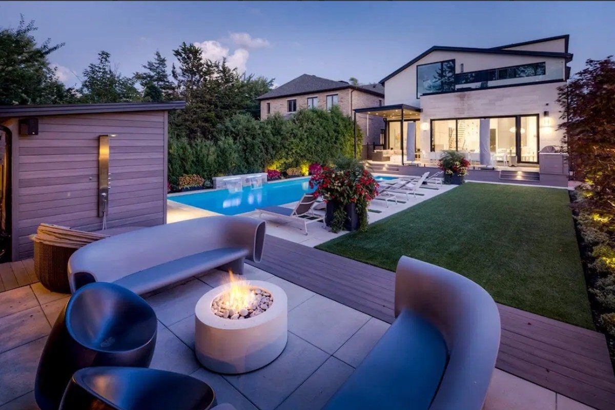
About the photos on this site
Our project gallery is organised by the type of work, not by neighbourhood. So nothing on this page, and nothing on any of our area pages, claims that a particular photo was built in a particular community. We would rather say that than attach a location to a project we cannot verify. You can see the full gallery of the work we build, and as we start tagging projects by area we will add verified local photos to the pages that cover them.