
Stittsville had its own post office in Goulbourn Township from 1854 and came into the City of Ottawa with the rest of Goulbourn at the 2001 amalgamation. So one City of Ottawa permit process covers it, and it is on our regular service area, not a trip out of town. The ground is the interesting part: Stittsville was built in clearly dated waves and sits at the top of a different watershed from most of the city.
Start with the decade your street was built
Most Ottawa communities are hard to date from the curb. Stittsville is not, because the ward councillor publishes a decade-by-decade build map. Pre-1980: the Stittsville Main Street corridor and Fringewood North and South. The 1980s: Crossing Bridge, Wyldewood, Amberwood and the Iber Road business park. The 1990s: Bryanston Gate, Forest Creek, Amberlakes and the first phases of Granite Ridge. The 2000s: Timbermere, Echowoods, Jackson Trails, Fairwinds and West Ridge. From 2011 onward: Potter’s Key, Blackstone, Fernbank Crossing, Westwood, Mapleton and Bradley Commons.
That is a site survey done in advance. A Blackstone or Fernbank Crossing lot is tight and the trees are still young, so the first honest conversation is about access and staging: how base stone, pavers and soil get in and out through the narrowest pinch point on the property. Old Main Street, Fringewood and Amberwood are forty to fifty years established under a real canopy, and shade keeps wood damp longer, which is an argument for composite or interlock rather than a sales line. Amberwood is its own case: an adult-lifestyle community begun in the late 1970s by Jaric Developments, clubhouse 1979, golf course only 1981, so the houses came before the course.
Everything here drains to the Carp, not the Rideau
This is the Stittsville fact that surprises people. The Carp River is 42 km long, drains 306 square kilometres, lies entirely inside the City of Ottawa, and Mississippi Valley Conservation Authority describes it as predominately urban in the headwaters in Stittsville. Poole Creek and Feedmill Creek are Carp tributaries. So near a watercourse or wetland here, the agency is Mississippi Valley, not the Rideau Valley authority that covers Richmond and Manotick.
MVCA states that building or altering land, including excavating or filling, near a wetland, watercourse or shoreline may require its permit under the Conservation Authorities Act and Ontario Regulation 41/24, and it recommends pre-consulting its staff alongside the City. Drainage matters even where no authority is involved: Ward 6 Stittsville was named in the City’s investigation of the 24 July 2009 west-end flooding. We set the fall of an interlock patio or walkway and its base depth before anything is laid, because correcting it later means lifting the whole field.
Sources: MVCA: Carp River watershed and MVCA: development and permits
Municipal servicing, with one edge that is not
Inside the urban boundary Stittsville is on central municipal water and sanitary sewer, so no septic bed dictates where footings, a patio or a machine can go. The exception is the north-west edge. The City’s Carp Road Corridor Community Design Plan states that with the exception of the lands south of Highway 417, being the eastern half of the Westbrook Subdivision plus properties on Lloydalex Crescent and Carp Road, the corridor is serviced by individual wells and septic systems. Out there the job is a rural one again, and we locate the bed and its lines on site.
Source: City of Ottawa: Carp Road Corridor Community Design Plan, Servicing
The measurements that decide whether you need paperwork
Two numbers do most of the work on a deck. The City of Ottawa states that regardless of walking surface area, a deck adjacent to or attached to the house needs a building permit if its walking surface is more than 600 mm, about 24 inches, above the adjacent grade, and that any elevated deck providing principal access needs one. Standing free in the yard, it needs a permit when the walking surface is both greater than 10 square metres and more than 600 mm above grade.
Fences run on a different rulebook, the City’s Fence By-law 2003-462. On residential property it caps a fence at one metre in a front yard and 213 cm in any other yard, lets a gate in a side or rear yard exceed that by 30 cm, and requires the finished side to face the street and your neighbours. It also holds anything inside a visibility triangle to 75 cm: three metres along the lot lines at a corner, and two metres either side of a driveway. On the newer Stittsville streets, where driveways sit close together, that triangle is the clause that most often changes a fence layout. Our Ottawa permit guide sets it out in full, alongside the deck materials we build in.
Sources: City of Ottawa: Decks, do I need a building permit? and City of Ottawa: Fence By-law No. 2003-462
About the photos on this page
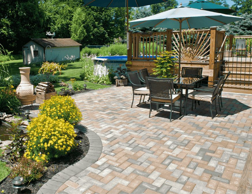
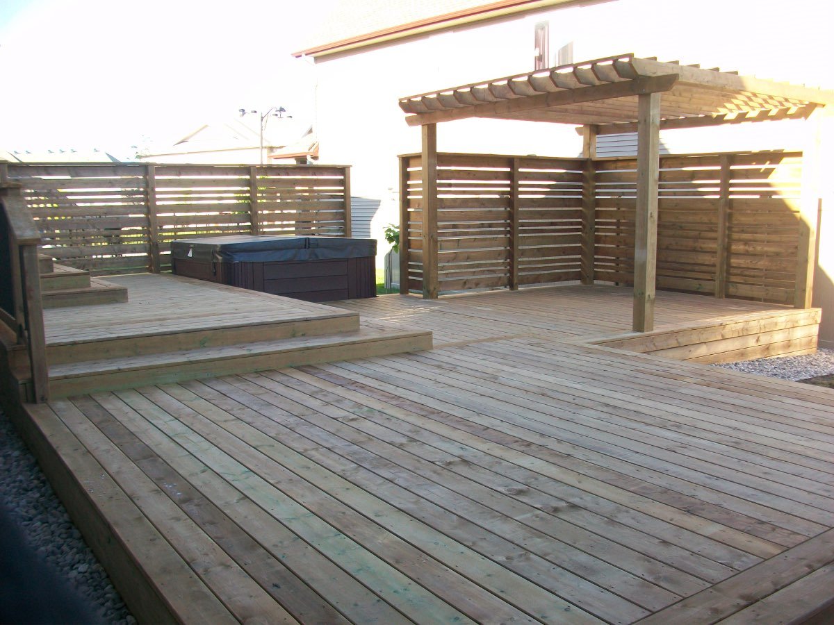
Straight answer: our gallery is organised by type of work, not by neighbourhood, so we cannot point at an image here and tell you it was built on Bryanston Gate or in Potter’s Key. Attaching a location we cannot verify is not worth doing. What is here is our full gallery of the work we build. When we start tagging projects by area, verified Stittsville photos will replace this paragraph.